Stalbridge: postbox № DT10 9, Copse House
Introduction
The photograph on this page of Stalbridge: postbox № DT10 9, Copse House by Chris Downer as part of the Geograph project.
The Geograph project started in 2005 with the aim of publishing, organising and preserving representative images for every square kilometre of Great Britain, Ireland and the Isle of Man.

There are currently over 7.5m images from over 14,400 individuals and you can help contribute to the project by visiting https://www.geograph.org.uk
Stalbridge: postbox № DT10 9, Copse House
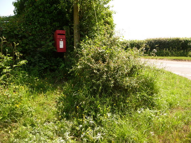
Image: © Chris Downer Taken: 13 Jun 2010
This postbox occupies a borderline position in relation to both gridsquares and counties. It is clasped to a wooden post almost hidden in the hedge which forms the Dorset-Somerset border, and is squeezed into the top-right corner of the gridsquare. Depending on the exact point of the boundary relative to the hedge, it is possible that every letter posted here crosses the boundary twice before the postman collects it! He does so at 10:45 on weekday mornings and at 9 o'clock on Saturday mornings.
Images are licensed for reuse under creativecommons.org/licenses/by-sa/2.0
Image Location
Latitude
50.960508
Longitude
-2.414438