Ravine Road from Church Bridge - north west
Introduction
The photograph on this page of Ravine Road from Church Bridge - north west by John S Turner as part of the Geograph project.
The Geograph project started in 2005 with the aim of publishing, organising and preserving representative images for every square kilometre of Great Britain, Ireland and the Isle of Man.

There are currently over 7.5m images from over 14,400 individuals and you can help contribute to the project by visiting https://www.geograph.org.uk
Ravine Road from Church Bridge - north west
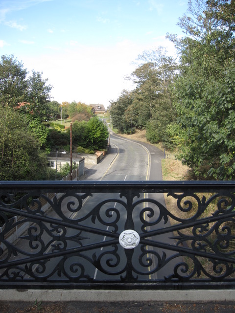
Image: © John S Turner Taken: 5 Oct 2009
Looking north west along Ravine Road with part of the Victorian parapet of Church Bridge in the foreground. The central motif is the white rose of Yorkshire.
Images are licensed for reuse under creativecommons.org/licenses/by-sa/2.0
Image Location


Leaflet Map data © OpenStreetMap
Latitude
54.213203
Longitude
-0.288957