King?s Stag: signs on the B3143
Introduction
The photograph on this page of King?s Stag: signs on the B3143 by Chris Downer as part of the Geograph project.
The Geograph project started in 2005 with the aim of publishing, organising and preserving representative images for every square kilometre of Great Britain, Ireland and the Isle of Man.

There are currently over 7.5m images from over 14,400 individuals and you can help contribute to the project by visiting https://www.geograph.org.uk
King?s Stag: signs on the B3143
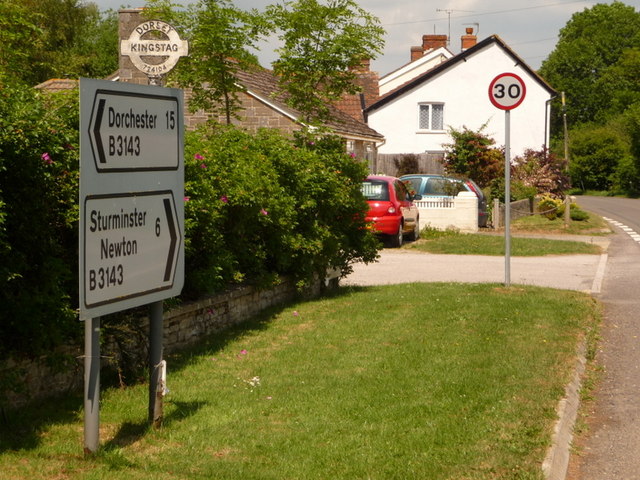
Image: © Chris Downer Taken: 13 Jun 2010
The modern signs have retained the traditional finial from the previous finger-post – giving location and grid reference. For a close-up of the finial, see Image
Images are licensed for reuse under creativecommons.org/licenses/by-sa/2.0
Image Location
Latitude
50.893226
Longitude
-2.394077