Farmland near Chilthorne Domer
Introduction
The photograph on this page of Farmland near Chilthorne Domer by Derek Harper as part of the Geograph project.
The Geograph project started in 2005 with the aim of publishing, organising and preserving representative images for every square kilometre of Great Britain, Ireland and the Isle of Man.

There are currently over 7.5m images from over 14,400 individuals and you can help contribute to the project by visiting https://www.geograph.org.uk
Farmland near Chilthorne Domer
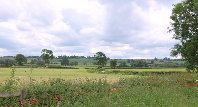
Image: © Derek Harper Taken: 9 Jun 2010
The level upper valley of Ball's Water, seen from the old main road between Tintinhull Forts and Chilthorne Domer.
Images are licensed for reuse under creativecommons.org/licenses/by-sa/2.0
Image Location
Latitude
50.96565
Longitude
-2.694877