Coombe lane
Introduction
The photograph on this page of Coombe lane by Nigel Mykura as part of the Geograph project.
The Geograph project started in 2005 with the aim of publishing, organising and preserving representative images for every square kilometre of Great Britain, Ireland and the Isle of Man.

There are currently over 7.5m images from over 14,400 individuals and you can help contribute to the project by visiting https://www.geograph.org.uk
Coombe lane
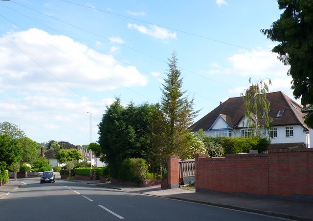
Image: © Nigel Mykura Taken: 12 Jun 2010
Looking south down Coombe lane from the northern end at the junction with Dingle Rd between Coombe Dingle and Westbury on Trym
Images are licensed for reuse under creativecommons.org/licenses/by-sa/2.0
Image Location
Latitude
51.491832
Longitude
-2.637169