Hammersmith: traffic on the gyratory
Introduction
The photograph on this page of Hammersmith: traffic on the gyratory by Chris Downer as part of the Geograph project.
The Geograph project started in 2005 with the aim of publishing, organising and preserving representative images for every square kilometre of Great Britain, Ireland and the Isle of Man.

There are currently over 7.5m images from over 14,400 individuals and you can help contribute to the project by visiting https://www.geograph.org.uk
Hammersmith: traffic on the gyratory
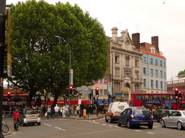
Image: © Chris Downer Taken: 10 Jun 2010
Traffic grinds to a halt on the central gyratory of Hammersmith, here seen as the northern end of Queen Caroline Street veers right into Hammersmith Broadway or left into King Street.
Images are licensed for reuse under creativecommons.org/licenses/by-sa/2.0
Image Location


Leaflet Map data © OpenStreetMap
Latitude
51.493067
Longitude
-0.223878