Monklands and Kirkintilloch Railway
Introduction
The photograph on this page of Monklands and Kirkintilloch Railway by Robert Murray as part of the Geograph project.
The Geograph project started in 2005 with the aim of publishing, organising and preserving representative images for every square kilometre of Great Britain, Ireland and the Isle of Man.

There are currently over 7.5m images from over 14,400 individuals and you can help contribute to the project by visiting https://www.geograph.org.uk
Monklands and Kirkintilloch Railway
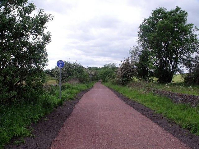
Image: © Robert Murray Taken: 12 Jun 2010
Another stretch of the old line that has been transformed into a smart walking path as part of the Strathkelvin paths network. See also Image for info on the railway.
Images are licensed for reuse under creativecommons.org/licenses/by-sa/2.0
Image Location
Latitude
55.903536
Longitude
-4.079955