Conifer Close, Caerleon
Introduction
The photograph on this page of Conifer Close, Caerleon by Jaggery as part of the Geograph project.
The Geograph project started in 2005 with the aim of publishing, organising and preserving representative images for every square kilometre of Great Britain, Ireland and the Isle of Man.

There are currently over 7.5m images from over 14,400 individuals and you can help contribute to the project by visiting https://www.geograph.org.uk
Conifer Close, Caerleon
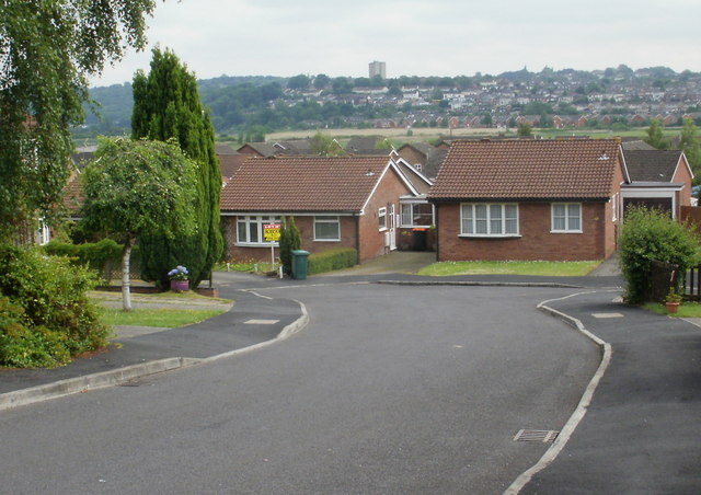
Image: © Jaggery Taken: 14 Jun 2010
Viewed from the Wentwood Road end. There is a mixture of bungalows and two-storey houses in the close. The choice of 'Conifer', a tree type, is somewhat out of kilter with most of the neighbouring streets which are named after specific trees.
Images are licensed for reuse under creativecommons.org/licenses/by-sa/2.0
Image Location
Latitude
51.611043
Longitude
-2.979081