Lancing Methodist Church
Introduction
The photograph on this page of Lancing Methodist Church by Paul Gillett as part of the Geograph project.
The Geograph project started in 2005 with the aim of publishing, organising and preserving representative images for every square kilometre of Great Britain, Ireland and the Isle of Man.

There are currently over 7.5m images from over 14,400 individuals and you can help contribute to the project by visiting https://www.geograph.org.uk
Lancing Methodist Church
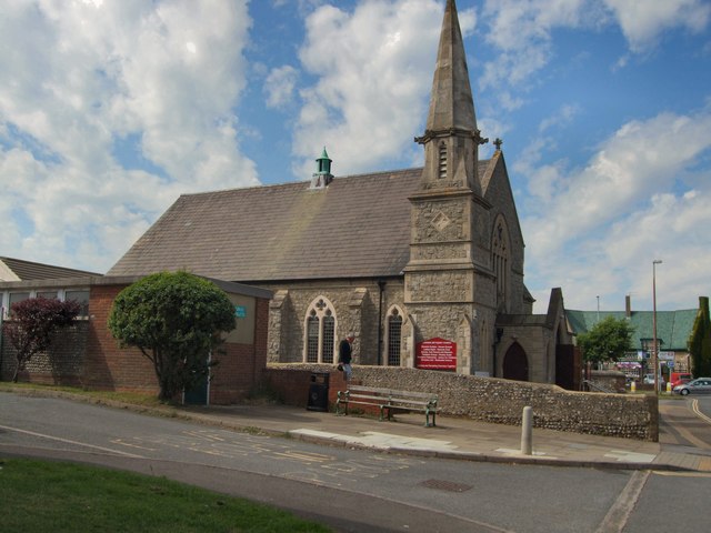
Image: © Paul Gillett Taken: 13 Jun 2010
The First chapel on this site was built in 1872, the existing building dates to 1906 http://www.northlancing.com/History/Lancing%20Methodist%20Church/A%20Short%20History%20of%20Lancing%20Methodist%20Church%20by%20Even%20Farrant.htm
Images are licensed for reuse under creativecommons.org/licenses/by-sa/2.0
Image Location
Latitude
50.824954
Longitude
-0.322717