Penygarn Bluebells
Introduction
The photograph on this page of Penygarn Bluebells by David Roberts as part of the Geograph project.
The Geograph project started in 2005 with the aim of publishing, organising and preserving representative images for every square kilometre of Great Britain, Ireland and the Isle of Man.

There are currently over 7.5m images from over 14,400 individuals and you can help contribute to the project by visiting https://www.geograph.org.uk
Penygarn Bluebells
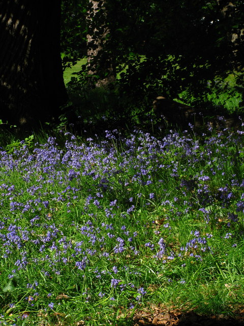
Image: © David Roberts Taken: 23 May 2010
Bluebells growing under trees near Penygarn, close by a view of the Gorsedd Stone Circle. Image]
Images are licensed for reuse under creativecommons.org/licenses/by-sa/2.0
Image Location
Latitude
51.704736
Longitude
-3.031464