Footbridge (disused) over the Garry at Invergarry
Introduction
The photograph on this page of Footbridge (disused) over the Garry at Invergarry by Anthony O'Neil as part of the Geograph project.
The Geograph project started in 2005 with the aim of publishing, organising and preserving representative images for every square kilometre of Great Britain, Ireland and the Isle of Man.

There are currently over 7.5m images from over 14,400 individuals and you can help contribute to the project by visiting https://www.geograph.org.uk
Footbridge (disused) over the Garry at Invergarry
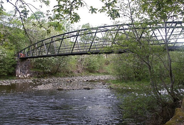
Image: © Anthony O'Neil Taken: 26 May 2010
Corrosion has taken its toll of the bridge's structure. Update: the bridge has since been repaired and reopened.
Images are licensed for reuse under creativecommons.org/licenses/by-sa/2.0
Image Location
Latitude
57.067775
Longitude
-4.804567