Auchengeich Road
Introduction
The photograph on this page of Auchengeich Road by Robert Murray as part of the Geograph project.
The Geograph project started in 2005 with the aim of publishing, organising and preserving representative images for every square kilometre of Great Britain, Ireland and the Isle of Man.

There are currently over 7.5m images from over 14,400 individuals and you can help contribute to the project by visiting https://www.geograph.org.uk
Auchengeich Road
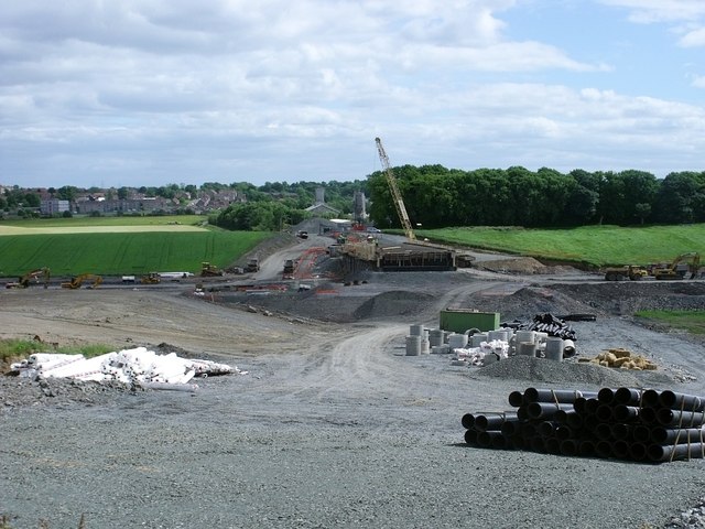
Image: © Robert Murray Taken: 12 Jun 2010
The (now old) road to Auchengeich but now a building site for the new route of the M80 motorway north of Moodiesburn and the old colliery called the 'Geich'.
Images are licensed for reuse under creativecommons.org/licenses/by-sa/2.0
Image Location


Leaflet Map data © OpenStreetMap
Latitude
55.918259
Longitude
-4.102028