Gargunnock to Kippen
Introduction
The photograph on this page of Gargunnock to Kippen by I A Smellie as part of the Geograph project.
The Geograph project started in 2005 with the aim of publishing, organising and preserving representative images for every square kilometre of Great Britain, Ireland and the Isle of Man.

There are currently over 7.5m images from over 14,400 individuals and you can help contribute to the project by visiting https://www.geograph.org.uk
Gargunnock to Kippen
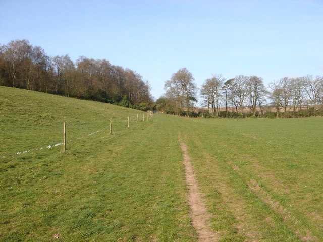
Image: © I A Smellie Taken: 7 Apr 2007
On the back road from Gargunnock to Kippen. Once through the gate the remains of the old mink farm can be seen.
Images are licensed for reuse under creativecommons.org/licenses/by-sa/2.0
Image Location
Latitude
56.124517
Longitude
-4.148505