Hawes, Wensleydale Pottery benchmark
Introduction
The photograph on this page of Hawes, Wensleydale Pottery benchmark by Roger Templeman as part of the Geograph project.
The Geograph project started in 2005 with the aim of publishing, organising and preserving representative images for every square kilometre of Great Britain, Ireland and the Isle of Man.

There are currently over 7.5m images from over 14,400 individuals and you can help contribute to the project by visiting https://www.geograph.org.uk
Hawes, Wensleydale Pottery benchmark
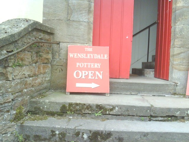
Image: © Roger Templeman Taken: 11 Jun 2010
Ordnance Survey cut mark benchmark on the former United Reformed Church, now a pottery, to left of sign (moved from in front of the mark to allow photo). Information on the benchmark may be found on the Bench Mark Database at http://www.bench-marks.org.uk/bm24335.
Images are licensed for reuse under creativecommons.org/licenses/by-sa/2.0
Image Location
Latitude
54.303561
Longitude
-2.193439