Moor Lane
Introduction
The photograph on this page of Moor Lane by Gordon Hatton as part of the Geograph project.
The Geograph project started in 2005 with the aim of publishing, organising and preserving representative images for every square kilometre of Great Britain, Ireland and the Isle of Man.

There are currently over 7.5m images from over 14,400 individuals and you can help contribute to the project by visiting https://www.geograph.org.uk
Moor Lane
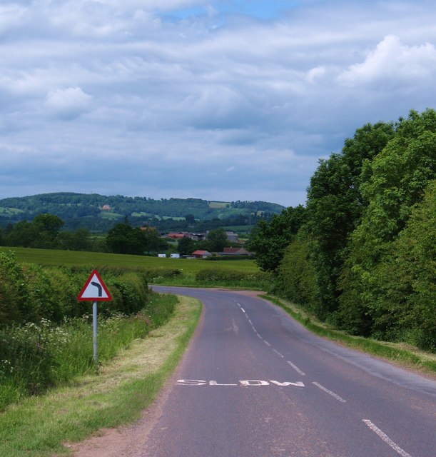
Image: © Gordon Hatton Taken: 12 Jun 2010
Moor Lane links Bagby with the A170 for Thirsk. Looking north towards the distant outline of Wool Moor.
Images are licensed for reuse under creativecommons.org/licenses/by-sa/2.0
Image Location
Latitude
54.226735
Longitude
-1.285332