Bridge, Fisherton Street
Introduction
The photograph on this page of Bridge, Fisherton Street by Maigheach-gheal as part of the Geograph project.
The Geograph project started in 2005 with the aim of publishing, organising and preserving representative images for every square kilometre of Great Britain, Ireland and the Isle of Man.

There are currently over 7.5m images from over 14,400 individuals and you can help contribute to the project by visiting https://www.geograph.org.uk
Bridge, Fisherton Street
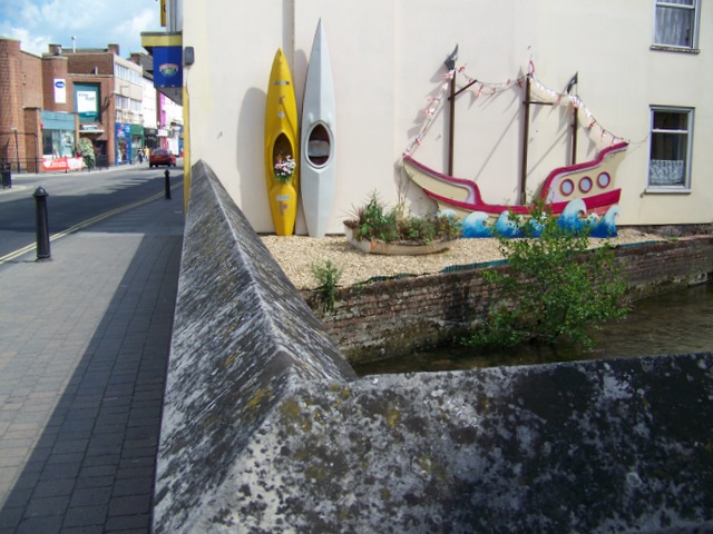
Image: © Maigheach-gheal Taken: 13 Jun 2010
The bridge on Fisherton Street takes the road of one of the many channels of the River Avon. Near the bottom of the parapet is an Ordnance Survey cut mark.
Images are licensed for reuse under creativecommons.org/licenses/by-sa/2.0
Image Location
Latitude
51.070514
Longitude
-1.80299