Ballyhacket Lane near Castlerock (1)
Introduction
The photograph on this page of Ballyhacket Lane near Castlerock (1) by Albert Bridge as part of the Geograph project.
The Geograph project started in 2005 with the aim of publishing, organising and preserving representative images for every square kilometre of Great Britain, Ireland and the Isle of Man.

There are currently over 7.5m images from over 14,400 individuals and you can help contribute to the project by visiting https://www.geograph.org.uk
Ballyhacket Lane near Castlerock (1)
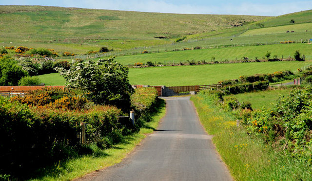
Image: © Albert Bridge Taken: 12 Jun 2010
Ballyhacket Lane as it ascends towards Altikeeragh. At lower levels the land is used for cattle grazing. Further up it becomes sheep country before becoming ungrazable bog towards the top.
Images are licensed for reuse under creativecommons.org/licenses/by-sa/2.0
Image Location
Latitude
55.1399
Longitude
-6.827511