
Knowle High Street looking southeast
Introduction
The photograph on this page of Knowle High Street looking southeast by Robin Stott as part of the Geograph project.
The Geograph project started in 2005 with the aim of publishing, organising and preserving representative images for every square kilometre of Great Britain, Ireland and the Isle of Man.

There are currently over 7.5m images from over 14,400 individuals and you can help contribute to the project by visiting https://www.geograph.org.uk
Knowle High Street looking southeast
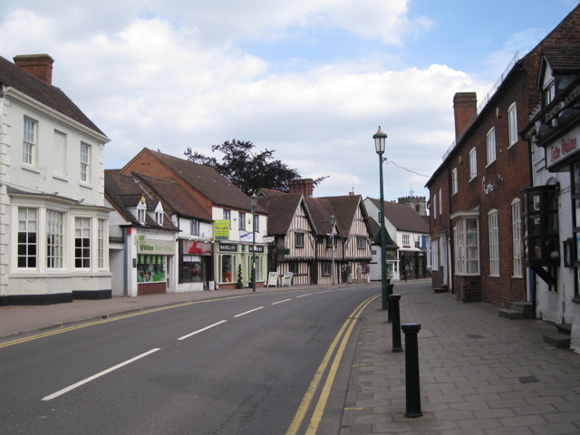
Image: © Robin Stott Taken: 12 Jun 2010
The ground floor of the timber-framed building is home to the public library. The right-hand side of the building was begun around 1400, the left-hand side around 1500. It was a farmhouse. After a number of old buildings in the street were lost to unsympathetic development in the 1960s, the Knowle Society was formed when this building was threatened. They now occupy the upper floor. It is known locally as Chester House but no-one knows why. The photo records a rare traffic-free moment.
Images are licensed for reuse under creativecommons.org/licenses/by-sa/2.0
Image Location

Latitude
52.389289
Longitude
-1.735171