Meadow near Felixkirk
Introduction
The photograph on this page of Meadow near Felixkirk by Gordon Hatton as part of the Geograph project.
The Geograph project started in 2005 with the aim of publishing, organising and preserving representative images for every square kilometre of Great Britain, Ireland and the Isle of Man.

There are currently over 7.5m images from over 14,400 individuals and you can help contribute to the project by visiting https://www.geograph.org.uk
Meadow near Felixkirk
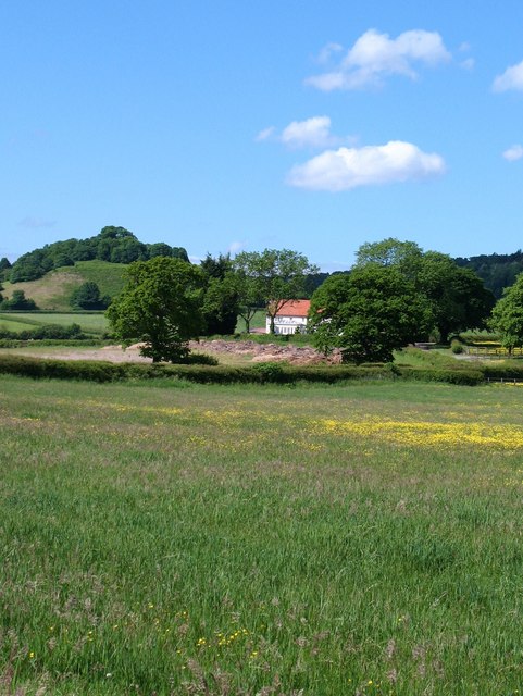
Image: © Gordon Hatton Taken: 12 Jun 2010
Meadowland north of Felixkirk, looking towards Lawn House. The hill in the distance on the left is Knowle Hill at Kirby Knowle.
Images are licensed for reuse under creativecommons.org/licenses/by-sa/2.0
Image Location
Latitude
54.265445
Longitude
-1.280824