Road and rail near Black's Bridge
Introduction
The photograph on this page of Road and rail near Black's Bridge by Philip Barker as part of the Geograph project.
The Geograph project started in 2005 with the aim of publishing, organising and preserving representative images for every square kilometre of Great Britain, Ireland and the Isle of Man.

There are currently over 7.5m images from over 14,400 individuals and you can help contribute to the project by visiting https://www.geograph.org.uk
Road and rail near Black's Bridge
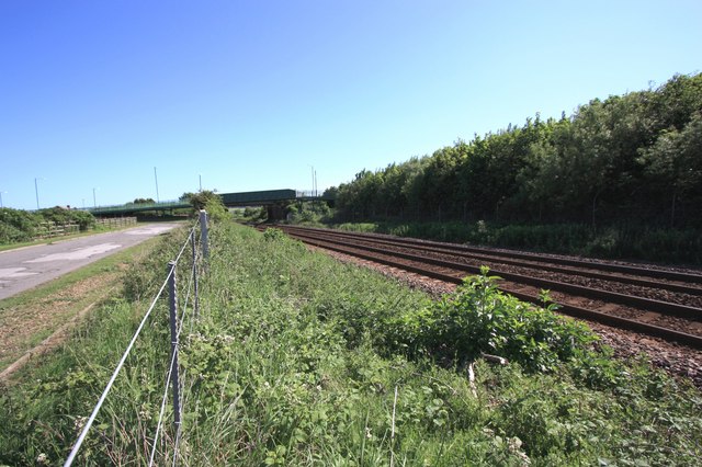
Image: © Philip Barker Taken: 12 Jun 2010
This photograph shows a view of a section of the railway that runs between Middlesbrough and Saltburn-by-the-Sea. Green Lane can be seen running alongside the railway track on the opposite side of the fence. The picture was taken looking in a south-south-easterly direction towards Black's Bridge - both the footbridge and the road bridge are visible.
Images are licensed for reuse under creativecommons.org/licenses/by-sa/2.0
Image Location
Latitude
54.594594
Longitude
-1.039941