Road junction on West Dyke Road
Introduction
The photograph on this page of Road junction on West Dyke Road by Philip Barker as part of the Geograph project.
The Geograph project started in 2005 with the aim of publishing, organising and preserving representative images for every square kilometre of Great Britain, Ireland and the Isle of Man.

There are currently over 7.5m images from over 14,400 individuals and you can help contribute to the project by visiting https://www.geograph.org.uk
Road junction on West Dyke Road
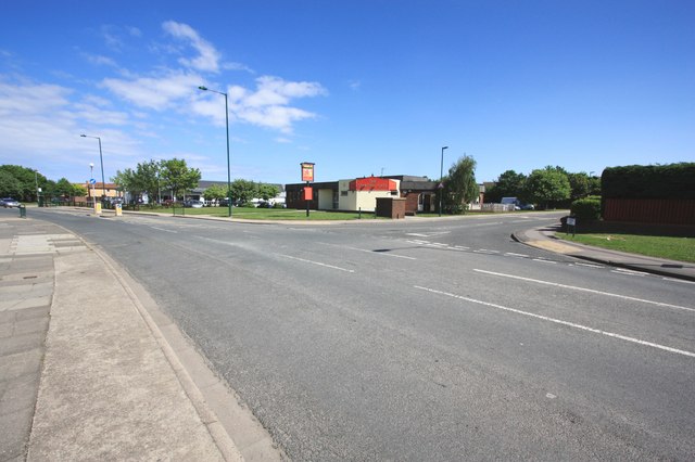
Image: © Philip Barker Taken: 12 Jun 2010
This photograph shows a view of the road junction formed by the intersection of West Dyke Road (from where the photograph was taken) and Larkswood Road (joining from the right). The Starting Gate hostelry can be seen in the centre of the image. The picture was taken looking in a south-easterly direction towards Grewgrass Farm.
Images are licensed for reuse under creativecommons.org/licenses/by-sa/2.0
Image Location
Latitude
54.59402
Longitude
-1.06998