Walled-up gateway
Introduction
The photograph on this page of Walled-up gateway by Robin Webster as part of the Geograph project.
The Geograph project started in 2005 with the aim of publishing, organising and preserving representative images for every square kilometre of Great Britain, Ireland and the Isle of Man.

There are currently over 7.5m images from over 14,400 individuals and you can help contribute to the project by visiting https://www.geograph.org.uk
Walled-up gateway
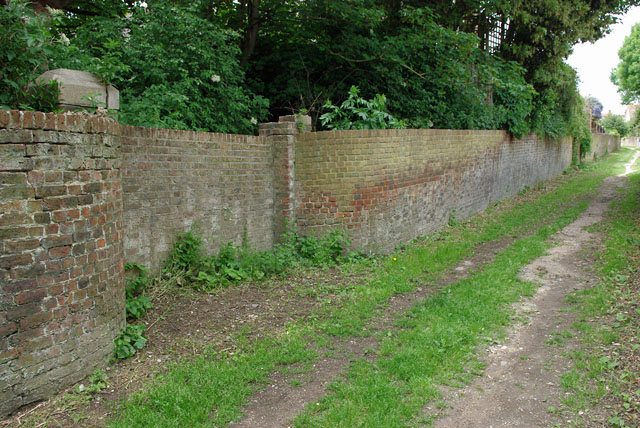
Image: © Robin Webster Taken: 12 Jun 2010
Opening onto the footpath between Paradise Drive and Vicarage Road. It is an access track to one or two premises over its northern length.
Images are licensed for reuse under creativecommons.org/licenses/by-sa/2.0
Image Location
Latitude
50.769475
Longitude
0.265097