Cory Farm
Introduction
The photograph on this page of Cory Farm by Tony Atkin as part of the Geograph project.
The Geograph project started in 2005 with the aim of publishing, organising and preserving representative images for every square kilometre of Great Britain, Ireland and the Isle of Man.

There are currently over 7.5m images from over 14,400 individuals and you can help contribute to the project by visiting https://www.geograph.org.uk
Cory Farm
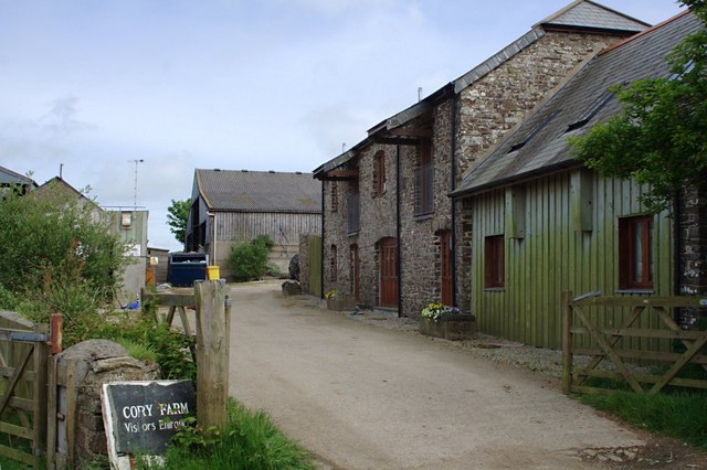
Image: © Tony Atkin Taken: 30 May 2010
This is a working farm where one of the older buildings has been converted to holiday cottages.
Images are licensed for reuse under creativecommons.org/licenses/by-sa/2.0
Image Location
Latitude
50.917666
Longitude
-4.536971