"Bardill's" roundabout
Introduction
The photograph on this page of "Bardill's" roundabout by David Lally as part of the Geograph project.
The Geograph project started in 2005 with the aim of publishing, organising and preserving representative images for every square kilometre of Great Britain, Ireland and the Isle of Man.

There are currently over 7.5m images from over 14,400 individuals and you can help contribute to the project by visiting https://www.geograph.org.uk
"Bardill's" roundabout
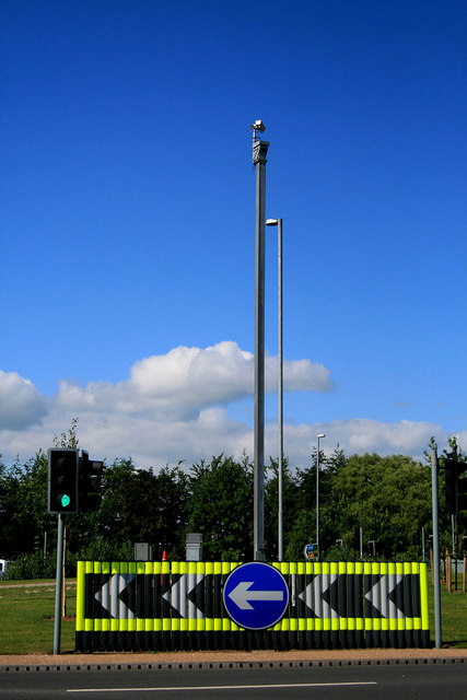
Image: © David Lally Taken: 12 Jun 2010
Where the A52 Brian Clough Way is crossed by Toton Lane, Stapleford. The chevrons are a bit over-the-top since the rebuilding of the junction.
Images are licensed for reuse under creativecommons.org/licenses/by-sa/2.0
Image Location
Latitude
52.920393
Longitude
-1.264882