Uttoxeter fire station
Introduction
The photograph on this page of Uttoxeter fire station by Kevin Hale as part of the Geograph project.
The Geograph project started in 2005 with the aim of publishing, organising and preserving representative images for every square kilometre of Great Britain, Ireland and the Isle of Man.

There are currently over 7.5m images from over 14,400 individuals and you can help contribute to the project by visiting https://www.geograph.org.uk
Uttoxeter fire station
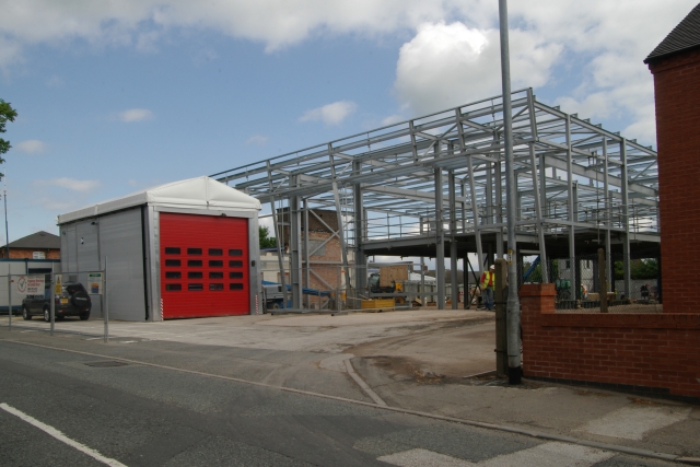
Image: © Kevin Hale Taken: 27 May 2010
Uttoxeter fire station, Cheadle Road, Uttoxeter, Staffordshire. The main station is being totally rebuilt. This view shows the temporary station which is being used during the building works.
Images are licensed for reuse under creativecommons.org/licenses/by-sa/2.0
Image Location
Latitude
52.905254
Longitude
-1.870117