Southeast end of Pontypridd Road, Barry
Introduction
The photograph on this page of Southeast end of Pontypridd Road, Barry by Jaggery as part of the Geograph project.
The Geograph project started in 2005 with the aim of publishing, organising and preserving representative images for every square kilometre of Great Britain, Ireland and the Isle of Man.

There are currently over 7.5m images from over 14,400 individuals and you can help contribute to the project by visiting https://www.geograph.org.uk
Southeast end of Pontypridd Road, Barry
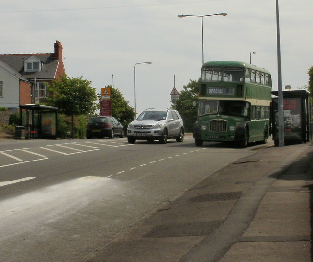
Image: © Jaggery Taken: 6 Jun 2010
Looking towards the roundabout where Pontypridd Road meets Jenner Road and Park Crescent. Today, June 6th 2010 is the day of the annual Festival of Transport. In addition to static displays of vintage and classic vehicles http://www.geograph.org.uk/photo/1904936, some are to be seen on the streets of Barry. This one is a former Crosville bus. http://www.geograph.org.uk/photo/892021
Images are licensed for reuse under creativecommons.org/licenses/by-sa/2.0
Image Location
Latitude
51.401228
Longitude
-3.289422