Bridleway to Poling
Introduction
The photograph on this page of Bridleway to Poling by Bob Embleton as part of the Geograph project.
The Geograph project started in 2005 with the aim of publishing, organising and preserving representative images for every square kilometre of Great Britain, Ireland and the Isle of Man.

There are currently over 7.5m images from over 14,400 individuals and you can help contribute to the project by visiting https://www.geograph.org.uk
Bridleway to Poling
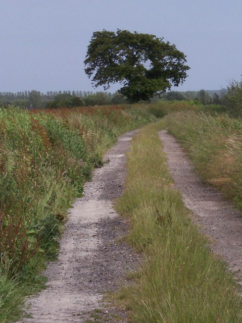
Image: © Bob Embleton Taken: 21 Jun 2006
From the village of Lyminster. Taken using a 6* zoom to compress the picture. From the map this might have been an old route way from Tortington in the west to Angmering in the east or even further towards Worthing where it could link with a hillfort and a roman villa.
Images are licensed for reuse under creativecommons.org/licenses/by-sa/2.0
Image Location


Leaflet Map data © OpenStreetMap
Latitude
50.83259
Longitude
-0.531664