Houses above Valley Road, Cinderford
Introduction
The photograph on this page of Houses above Valley Road, Cinderford by Pauline E as part of the Geograph project.
The Geograph project started in 2005 with the aim of publishing, organising and preserving representative images for every square kilometre of Great Britain, Ireland and the Isle of Man.

There are currently over 7.5m images from over 14,400 individuals and you can help contribute to the project by visiting https://www.geograph.org.uk
Houses above Valley Road, Cinderford
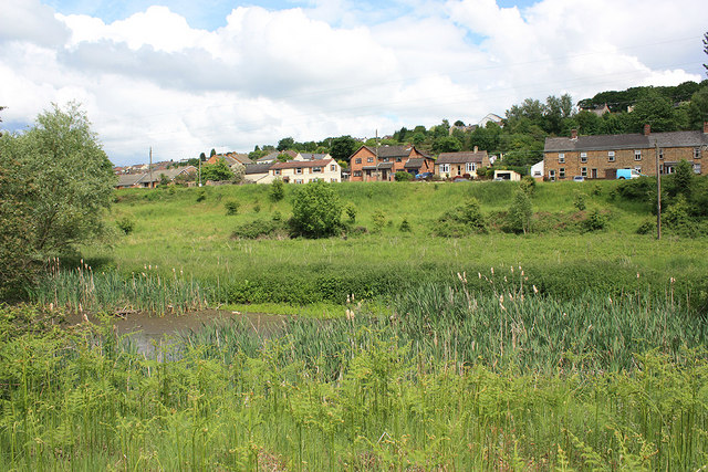
Image: © Pauline E Taken: 9 Jun 2010
They have a lovely view over the ponds at Linear Park and into the forest.
Images are licensed for reuse under creativecommons.org/licenses/by-sa/2.0
Image Location
Latitude
51.815622
Longitude
-2.505364