Stourport Basins Heritage Room (2), Severn Side
Introduction
The photograph on this page of Stourport Basins Heritage Room (2), Severn Side by P L Chadwick as part of the Geograph project.
The Geograph project started in 2005 with the aim of publishing, organising and preserving representative images for every square kilometre of Great Britain, Ireland and the Isle of Man.

There are currently over 7.5m images from over 14,400 individuals and you can help contribute to the project by visiting https://www.geograph.org.uk
Stourport Basins Heritage Room (2), Severn Side
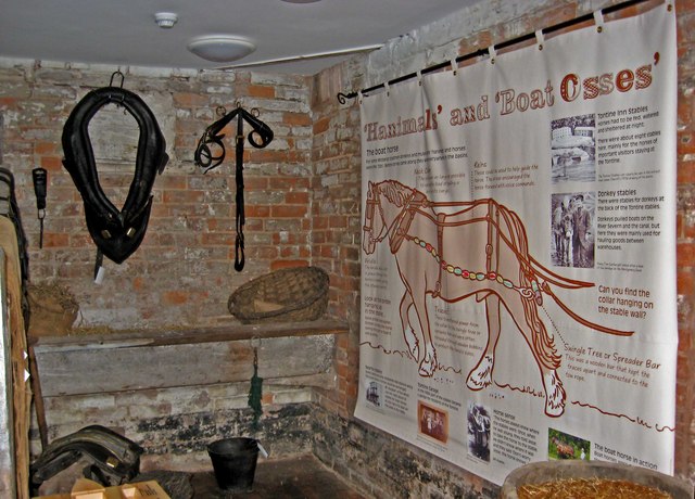
Image: © P L Chadwick Taken: 9 Jun 2010
More memorabilia of the time when Stourport's basins were working rather than leisure facilities. Image
Images are licensed for reuse under creativecommons.org/licenses/by-sa/2.0
Image Location
Latitude
52.336394
Longitude
-2.278953