Milestone and vacant site, Toldish
Introduction
The photograph on this page of Milestone and vacant site, Toldish by Derek Harper as part of the Geograph project.
The Geograph project started in 2005 with the aim of publishing, organising and preserving representative images for every square kilometre of Great Britain, Ireland and the Isle of Man.

There are currently over 7.5m images from over 14,400 individuals and you can help contribute to the project by visiting https://www.geograph.org.uk
Milestone and vacant site, Toldish
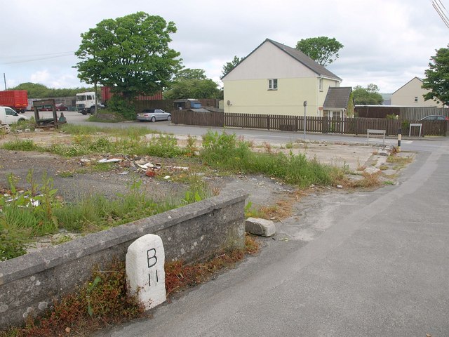
Image: © Derek Harper Taken: 8 Jun 2010
I assume B stands for Bodmin. The site of the demolished building is on the corner of Moorland Road, the former A30, and the lane past Toldish Farm.
Images are licensed for reuse under creativecommons.org/licenses/by-sa/2.0
Image Location
Latitude
50.399391
Longitude
-4.920673