Field near Springfields
Introduction
The photograph on this page of Field near Springfields by Derek Harper as part of the Geograph project.
The Geograph project started in 2005 with the aim of publishing, organising and preserving representative images for every square kilometre of Great Britain, Ireland and the Isle of Man.

There are currently over 7.5m images from over 14,400 individuals and you can help contribute to the project by visiting https://www.geograph.org.uk
Field near Springfields
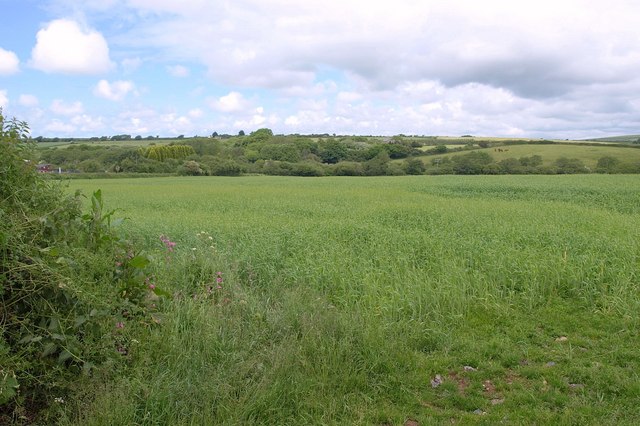
Image: © Derek Harper Taken: 8 Jun 2010
From the lane between Springfields Fun Park and Pony Centre, and Ruthvoes, a view which licludes, on the left, much of the scene in Image
Images are licensed for reuse under creativecommons.org/licenses/by-sa/2.0
Image Location
Latitude
50.411993
Longitude
-4.927501