Road to Trevarren
Introduction
The photograph on this page of Road to Trevarren by Derek Harper as part of the Geograph project.
The Geograph project started in 2005 with the aim of publishing, organising and preserving representative images for every square kilometre of Great Britain, Ireland and the Isle of Man.

There are currently over 7.5m images from over 14,400 individuals and you can help contribute to the project by visiting https://www.geograph.org.uk
Road to Trevarren
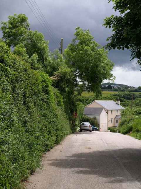
Image: © Derek Harper Taken: 8 Jun 2010
This is the former A39 heading into Trevarren from Black Cross. Menacing weather, but the heavens didn't open for another half hour or so.
Images are licensed for reuse under creativecommons.org/licenses/by-sa/2.0
Image Location
Latitude
50.403555
Longitude
-4.941055