Staylittle / Penffordd-l
Introduction
The photograph on this page of Staylittle / Penffordd-l by Philip Halling as part of the Geograph project.
The Geograph project started in 2005 with the aim of publishing, organising and preserving representative images for every square kilometre of Great Britain, Ireland and the Isle of Man.

There are currently over 7.5m images from over 14,400 individuals and you can help contribute to the project by visiting https://www.geograph.org.uk
Staylittle / Penffordd-l
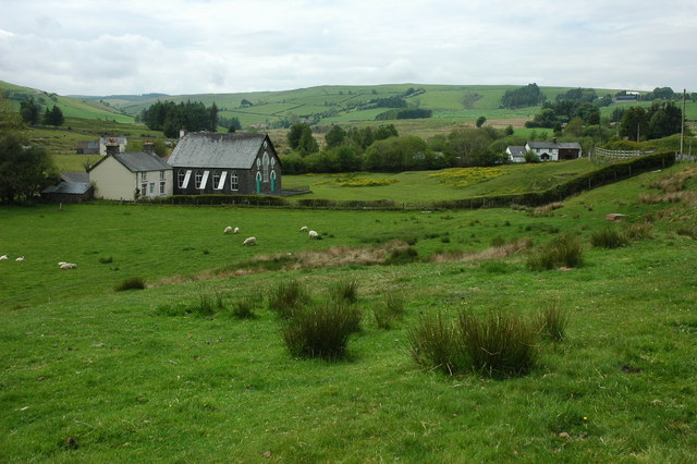
Image: © Philip Halling Taken: 6 Jun 2010
Staylittle / Penffordd-lâs with its chapel in the near distance viewed from the side of the B4518.
Images are licensed for reuse under creativecommons.org/licenses/by-sa/2.0
Image Location


Leaflet Map data © OpenStreetMap
Latitude
52.516444
Longitude
-3.642962