Occupation Road
Introduction
The photograph on this page of Occupation Road by Alan Murray-Rust as part of the Geograph project.
The Geograph project started in 2005 with the aim of publishing, organising and preserving representative images for every square kilometre of Great Britain, Ireland and the Isle of Man.

There are currently over 7.5m images from over 14,400 individuals and you can help contribute to the project by visiting https://www.geograph.org.uk
Occupation Road
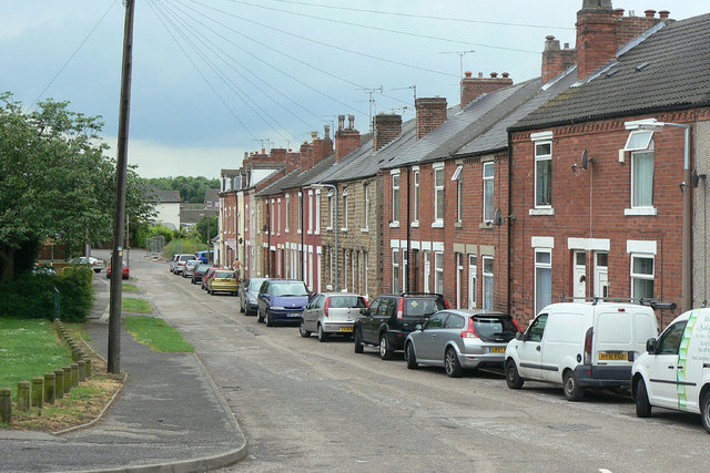
Image: © Alan Murray-Rust Taken: 7 Jun 2010
This and a couple of adjacent streets of terraced houses formed an isolated community, well separated from the main part of Hucknall, for several decades before the main part of the current Hazelgrove estate was developed. The reason for the initial development is the proximity to the old Hucknall No.1 Colliery, for whose workers they would almost certainly have been provided.
Images are licensed for reuse under creativecommons.org/licenses/by-sa/2.0
Image Location
Latitude
53.028538
Longitude
-1.207921