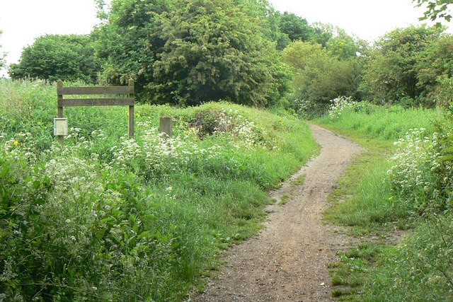
Farleys Lane
Introduction
The photograph on this page of Farleys Lane by Alan Murray-Rust as part of the Geograph project.
The Geograph project started in 2005 with the aim of publishing, organising and preserving representative images for every square kilometre of Great Britain, Ireland and the Isle of Man.
There are currently over 7.5m images from over 14,400 individuals and you can help contribute to the project by visiting https://www.geograph.org.uk

Image: © Alan Murray-Rust Taken: 7 Jun 2010
An old established line of communication between Hucknall and Bulwell which has bridleway status and has been promoted as a cycle route avoiding the main roads. It is clearly well used as such - I was passed by 3 cyclists in the space of around 20 minutes. The name looks as if it derived from the name of a person, Farley, associated with the land in the area, but in fact derives from the fact that it was the way to the Far Leys - the distant meadows.

