Parka Road
Introduction
The photograph on this page of Parka Road by Derek Harper as part of the Geograph project.
The Geograph project started in 2005 with the aim of publishing, organising and preserving representative images for every square kilometre of Great Britain, Ireland and the Isle of Man.

There are currently over 7.5m images from over 14,400 individuals and you can help contribute to the project by visiting https://www.geograph.org.uk
Parka Road
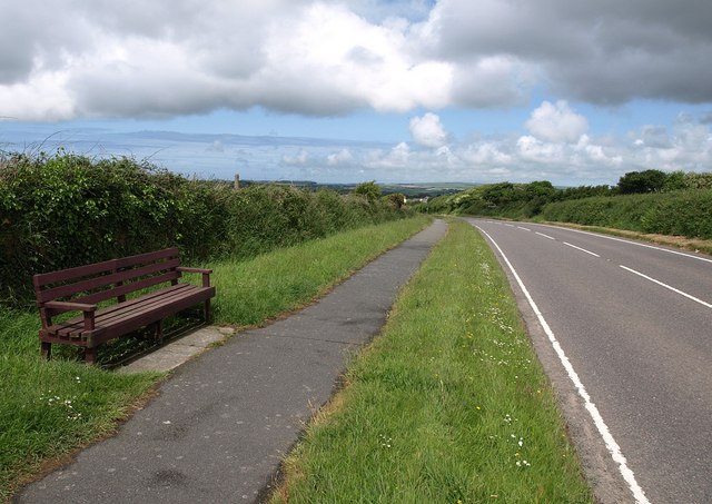
Image: © Derek Harper Taken: 8 Jun 2010
With a wide verge, the road from Fraddon passes a seat and begins to drop towards St Columb Road. The chimney of the Parka mine can be seen over the hedge just right of the seat.
Images are licensed for reuse under creativecommons.org/licenses/by-sa/2.0
Image Location
Latitude
50.391024
Longitude
-4.938591