Nabbs Lane
Introduction
The photograph on this page of Nabbs Lane by Alan Murray-Rust as part of the Geograph project.
The Geograph project started in 2005 with the aim of publishing, organising and preserving representative images for every square kilometre of Great Britain, Ireland and the Isle of Man.

There are currently over 7.5m images from over 14,400 individuals and you can help contribute to the project by visiting https://www.geograph.org.uk
Nabbs Lane
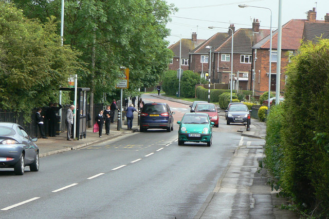
Image: © Alan Murray-Rust Taken: 7 Jun 2010
The main feeder road through the estates to the south west of Hucknall. The view was taken when school was coming out.
Images are licensed for reuse under creativecommons.org/licenses/by-sa/2.0
Image Location
Latitude
53.028733
Longitude
-1.223872