Footpath near Goodwick Moor
Introduction
The photograph on this page of Footpath near Goodwick Moor by Natasha Ceridwen de Chroustchoff as part of the Geograph project.
The Geograph project started in 2005 with the aim of publishing, organising and preserving representative images for every square kilometre of Great Britain, Ireland and the Isle of Man.

There are currently over 7.5m images from over 14,400 individuals and you can help contribute to the project by visiting https://www.geograph.org.uk
Footpath near Goodwick Moor
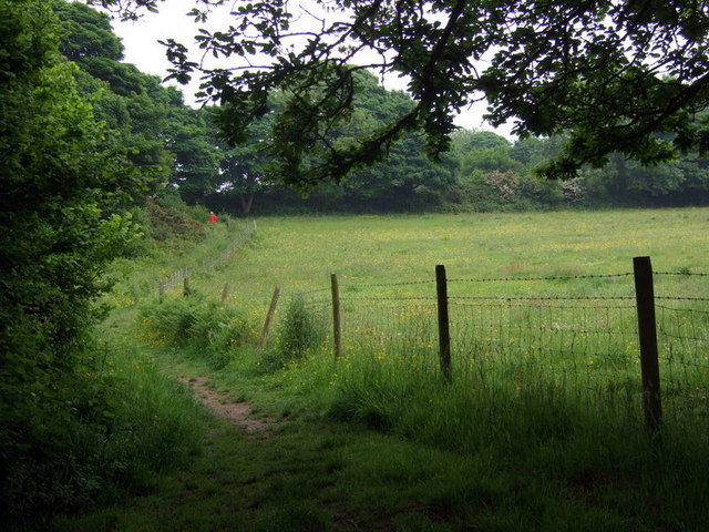
Image: © Natasha Ceridwen de Chroustchoff Taken: 9 Jun 2010
One of many unofficial footpaths that wind in and out of the curious area between and around the village and the moor: the ends of gardens, pony paddocks, scrubby wasteland and wet ditches.
Images are licensed for reuse under creativecommons.org/licenses/by-sa/2.0
Image Location
Latitude
51.997202
Longitude
-4.9978