Veensgarth from Hill of Burradale
Introduction
The photograph on this page of Veensgarth from Hill of Burradale by Mike Pennington as part of the Geograph project.
The Geograph project started in 2005 with the aim of publishing, organising and preserving representative images for every square kilometre of Great Britain, Ireland and the Isle of Man.

There are currently over 7.5m images from over 14,400 individuals and you can help contribute to the project by visiting https://www.geograph.org.uk
Veensgarth from Hill of Burradale
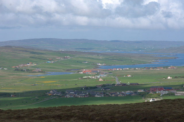
Image: © Mike Pennington Taken: 8 Jun 2010
Veensgarth is the settlement in the foreground, with the red-painted Herrislea House Hotel on the right. Strand Loch is on the left, with Lax Firth in the centre and on the right.
Images are licensed for reuse under creativecommons.org/licenses/by-sa/2.0
Image Location
Latitude
60.181336
Longitude
-1.230801