Bulcamp
Introduction
The photograph on this page of Bulcamp by Adrian S Pye as part of the Geograph project.
The Geograph project started in 2005 with the aim of publishing, organising and preserving representative images for every square kilometre of Great Britain, Ireland and the Isle of Man.

There are currently over 7.5m images from over 14,400 individuals and you can help contribute to the project by visiting https://www.geograph.org.uk
Bulcamp
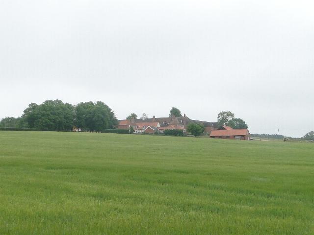
Image: © Adrian S Pye Taken: 10 Jun 2010
Pronounced Bulcum, this was built as a workhouse for the Blything Union in c. 1766 for the poor of the 49 surrounding parishes. It cost £12,000 to build. It later became a hospital for the elderly and is now a private accommodation complex.
Images are licensed for reuse under creativecommons.org/licenses/by-sa/2.0
Image Location
Latitude
52.330623
Longitude
1.578263