Iron trees
Introduction
The photograph on this page of Iron trees by Espresso Addict as part of the Geograph project.
The Geograph project started in 2005 with the aim of publishing, organising and preserving representative images for every square kilometre of Great Britain, Ireland and the Isle of Man.

There are currently over 7.5m images from over 14,400 individuals and you can help contribute to the project by visiting https://www.geograph.org.uk
Iron trees
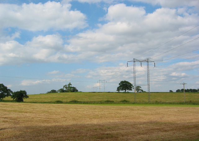
Image: © Espresso Addict Taken: 23 Jun 2006
A major electricity pylon runs diagonally across the gridsquare. View from the road, immediately west of Frith Farm, facing north
Images are licensed for reuse under creativecommons.org/licenses/by-sa/2.0
Image Location


Leaflet Map data © OpenStreetMap
Latitude
53.041072
Longitude
-2.635322