Papplewick Lane
Introduction
The photograph on this page of Papplewick Lane by Alan Murray-Rust as part of the Geograph project.
The Geograph project started in 2005 with the aim of publishing, organising and preserving representative images for every square kilometre of Great Britain, Ireland and the Isle of Man.

There are currently over 7.5m images from over 14,400 individuals and you can help contribute to the project by visiting https://www.geograph.org.uk
Papplewick Lane
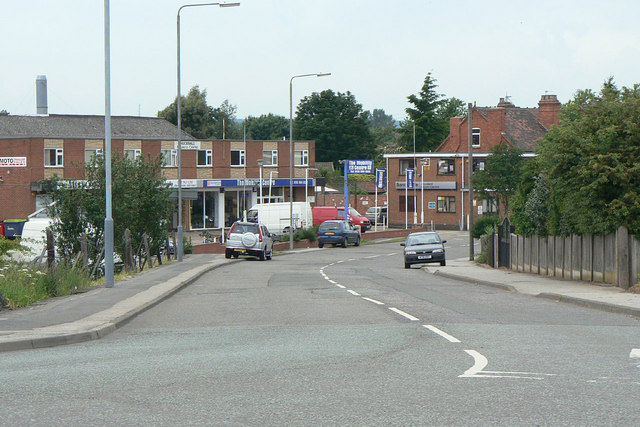
Image: © Alan Murray-Rust Taken: 7 Jun 2010
The descent from the railway bridge at Hucknall Station. The original alignment before the coming of the railway would have gone straight past the frontage of the building to the left.
Images are licensed for reuse under creativecommons.org/licenses/by-sa/2.0
Image Location
Latitude
53.039788
Longitude
-1.19638