Wigwam Lane
Introduction
The photograph on this page of Wigwam Lane by Alan Murray-Rust as part of the Geograph project.
The Geograph project started in 2005 with the aim of publishing, organising and preserving representative images for every square kilometre of Great Britain, Ireland and the Isle of Man.

There are currently over 7.5m images from over 14,400 individuals and you can help contribute to the project by visiting https://www.geograph.org.uk
Wigwam Lane
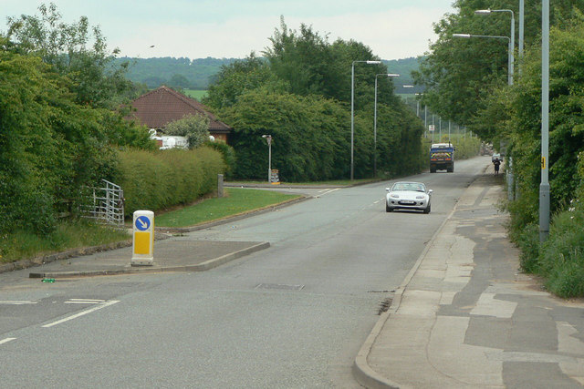
Image: © Alan Murray-Rust Taken: 7 Jun 2010
This odd name derives from a Mr. Hankin who after spending some years in America became a Byron tenant. He called his house the Wigwam, and this was the approach. The name dates from the mid 18th century.
Images are licensed for reuse under creativecommons.org/licenses/by-sa/2.0
Image Location
Latitude
53.036519
Longitude
-1.191669