Mannings Heath, Sussex
Introduction
The photograph on this page of Mannings Heath, Sussex by Peter Trimming as part of the Geograph project.
The Geograph project started in 2005 with the aim of publishing, organising and preserving representative images for every square kilometre of Great Britain, Ireland and the Isle of Man.

There are currently over 7.5m images from over 14,400 individuals and you can help contribute to the project by visiting https://www.geograph.org.uk
Mannings Heath, Sussex
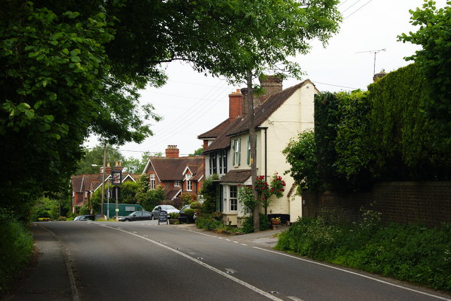
Image: © Peter Trimming Taken: 5 Jun 2010
The majority of the village lies to the north-east of the A281, to the right of this picture.
Images are licensed for reuse under creativecommons.org/licenses/by-sa/2.0
Image Location
Latitude
51.044299
Longitude
-0.288174