Bozomzeal
Introduction
The photograph on this page of Bozomzeal by Derek Harper as part of the Geograph project.
The Geograph project started in 2005 with the aim of publishing, organising and preserving representative images for every square kilometre of Great Britain, Ireland and the Isle of Man.

There are currently over 7.5m images from over 14,400 individuals and you can help contribute to the project by visiting https://www.geograph.org.uk
Bozomzeal
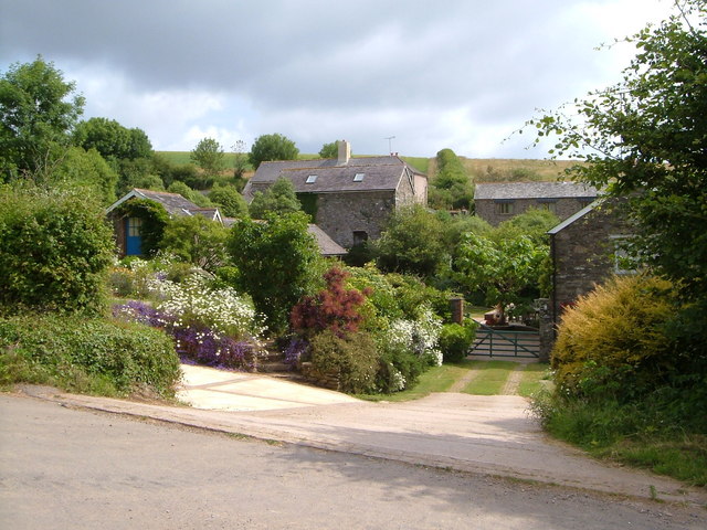
Image: © Derek Harper Taken: 23 Jun 2006
Shown on maps as "Bosomzeal", this farm complex is centred on a medieval house. Taken from the lane which also serves as an arm of the Dart Valley Trail.
Images are licensed for reuse under creativecommons.org/licenses/by-sa/2.0
Image Location


Leaflet Map data © OpenStreetMap
Latitude
50.371473
Longitude
-3.599216