Field Near Lower Beeding, Sussex
Introduction
The photograph on this page of Field Near Lower Beeding, Sussex by Peter Trimming as part of the Geograph project.
The Geograph project started in 2005 with the aim of publishing, organising and preserving representative images for every square kilometre of Great Britain, Ireland and the Isle of Man.

There are currently over 7.5m images from over 14,400 individuals and you can help contribute to the project by visiting https://www.geograph.org.uk
Field Near Lower Beeding, Sussex
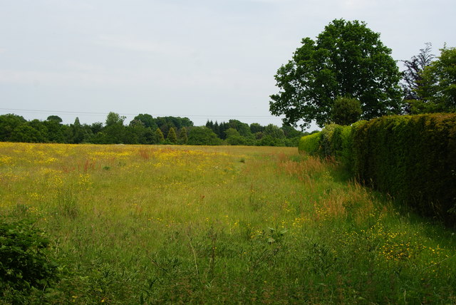
Image: © Peter Trimming Taken: 5 Jun 2010
Left fallow in 2010. Houses have been built to the right of the hedge, but they look to be well established. This area would previously have been part of the field.
Images are licensed for reuse under creativecommons.org/licenses/by-sa/2.0
Image Location
Latitude
51.027531
Longitude
-0.267115