Drumlins near Crossgar
Introduction
The photograph on this page of Drumlins near Crossgar by Albert Bridge as part of the Geograph project.
The Geograph project started in 2005 with the aim of publishing, organising and preserving representative images for every square kilometre of Great Britain, Ireland and the Isle of Man.

There are currently over 7.5m images from over 14,400 individuals and you can help contribute to the project by visiting https://www.geograph.org.uk
Drumlins near Crossgar
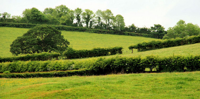
Image: © Albert Bridge Taken: 9 Jun 2010
Drumlins, at Creevycarnonan to the north west of Crossgar, seen from the Creevy Road. Smaller and not quite as egg-shaped as those a few miles further north.
Images are licensed for reuse under creativecommons.org/licenses/by-sa/2.0
Image Location
Latitude
54.408953
Longitude
-5.776297