Trellech Cross
Introduction
The photograph on this page of Trellech Cross by Gordon Hatton as part of the Geograph project.
The Geograph project started in 2005 with the aim of publishing, organising and preserving representative images for every square kilometre of Great Britain, Ireland and the Isle of Man.

There are currently over 7.5m images from over 14,400 individuals and you can help contribute to the project by visiting https://www.geograph.org.uk
Trellech Cross
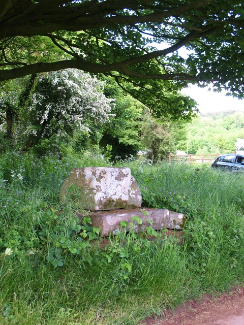
Image: © Gordon Hatton Taken: 2 Jun 2010
The base of a medieval cross close to the village of Trellech. Odd that the OS map and some of the older local signposts use the Anglicised 'Trelleck'.
Images are licensed for reuse under creativecommons.org/licenses/by-sa/2.0
Image Location
Latitude
51.732824
Longitude
-2.726277