Drainage ditch, Norbury meres
Introduction
The photograph on this page of Drainage ditch, Norbury meres by Espresso Addict as part of the Geograph project.
The Geograph project started in 2005 with the aim of publishing, organising and preserving representative images for every square kilometre of Great Britain, Ireland and the Isle of Man.

There are currently over 7.5m images from over 14,400 individuals and you can help contribute to the project by visiting https://www.geograph.org.uk
Drainage ditch, Norbury meres
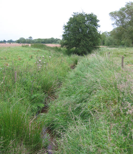
Image: © Espresso Addict Taken: 22 Jun 2006
Drainage ditch from the southern of the two Norbury meres. View from the path running north-east from Norbury Common
Images are licensed for reuse under creativecommons.org/licenses/by-sa/2.0
Image Location
Latitude
53.037313
Longitude
-2.665094