Track to Mydub Farm
Introduction
The photograph on this page of Track to Mydub Farm by Lairich Rig as part of the Geograph project.
The Geograph project started in 2005 with the aim of publishing, organising and preserving representative images for every square kilometre of Great Britain, Ireland and the Isle of Man.

There are currently over 7.5m images from over 14,400 individuals and you can help contribute to the project by visiting https://www.geograph.org.uk
Track to Mydub Farm
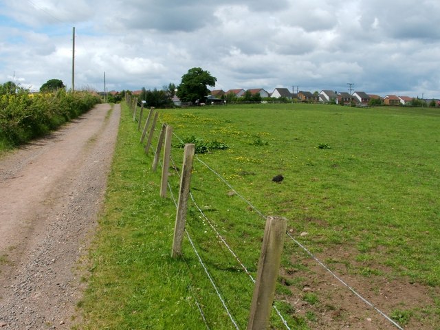
Image: © Lairich Rig Taken: 24 May 2010
This photograph was taken from a three-way Image The track can be followed past Mydub Farm, and leads back to the main road; see Image The houses visible in the background are in Freeneuk Lane, and in adjacent parts of the same scheme.
Images are licensed for reuse under creativecommons.org/licenses/by-sa/2.0
Image Location
Latitude
56.016015
Longitude
-3.898448